Best Hiking Trails Near Grass Valley and Nevada City, CA
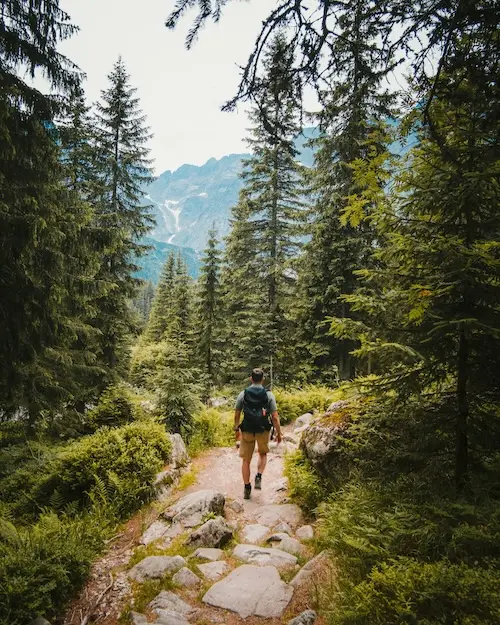
One of the first things people notice after moving to the Sierra Foothills is how easy it is to just walk out the door and into nature. You don't need to drive two hours to find a beautiful trail — in Nevada County, they're practically in your backyard. Whether you're a weekend hiker looking for a casual stroll along a shaded canal or someone who wants to scramble up a ridge for panoramic views, there's something here for every level of hiker.
If you're thinking about relocating and wondering what daily life in Nevada County looks like, outdoor recreation is a big part of the answer. Here's a guide to some of the best local trails.
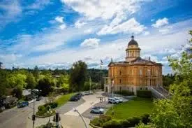
1. Empire Mine State Historic Park — Grass Valley
Empire Mine State Historic Park sits right in the heart of Grass Valley and is one of the most unique hiking destinations in Northern California. Between 1850 and 1956, the Empire Mine produced 5.8 million ounces of gold from 367 miles of underground tunnels — making it the richest hard rock gold mine in California's history. Today, the park's trail system winds past historic mine buildings, beautifully restored gardens, and relics of the Gold Rush era.
The main loop is roughly 2 miles and suitable for all fitness levels. There are also connections to surrounding trails if you want a longer outing. It's a wonderful place to spend a Saturday morning — history, fresh air, and no crowds. Kids love the mine yard, and the park is dog-friendly on leash.
Distance: ~2-mile loop (longer options available)
Difficulty: Easy
Dogs: Allowed on leash
Parking: Free on-site
2. South Yuba River / Buttermilk Bend Trail — Nevada City
The South Yuba River State Park protects 11,000 acres along a dramatic, granite-carved stretch of canyon just north of Nevada City. The Buttermilk Bend Trail is one of the most beloved hikes in the county — a relatively flat, 2.5-mile out-and-back route that hugs the river canyon and rewards hikers with sweeping views, wildflowers in spring, and access to turquoise-green swimming holes in summer.
In June, July, and August, the South Yuba River becomes a gathering place for families, swimmers, and kayakers. After a hike, you can cool off in the river — it's a full afternoon adventure. This is quintessential Sierra Foothills living: simple, beautiful, and free.
Distance: ~2.5 miles out-and-back
Difficulty: Easy to Moderate
Best for: Wildflowers (spring), swimming holes (summer)
Note: Parking fills early on summer weekends — arrive by 9 AM
3. Independence Trail — South Yuba River State Park
The Independence Trail holds a special distinction: it was California's first ADA-approved wheelchair-accessible wilderness trail. But don't let that fool you into thinking it's ordinary. Built along the old Excelsior Canal — constructed between 1854 and 1859 by Chinese laborers to supply water for hydraulic mining — the trail follows the original canal route through stunning river canyon terrain.
The western section of the trail is particularly dramatic. About 1.1 miles in, you'll reach Flume 28, a 500-foot wooden flume suspended above a waterfall on Rush Creek. It's one of the most photogenic spots in the county. The trail is flat and well-maintained, making it a rare gem: fully accessible and genuinely beautiful.
Distance: ~4 miles round-trip (west section)
Difficulty: Easy (ADA accessible)
Highlight: Flume 28 over Rush Creek waterfall
Location: ~7 miles from downtown Nevada City
4. Cascade Canal Trail — Banner Mountain
Tucked between Nevada City and Grass Valley on the slopes of Banner Mountain, the Cascade Canal Trail is a local favorite for good reason. At nearly 3,200 feet in elevation, the trail stays shaded and cool even on hot summer afternoons. The route follows a historic Gold Rush-era mining canal through mixed conifer forest, offering a peaceful escape that feels surprisingly remote despite being minutes from downtown.
The trail is roughly 4.5 miles one way, but most hikers pick a section and turn back when ready. It's gentle in grade and accessible for hikers of most abilities. Mountain bikers enjoy this one too, so expect to share the trail on weekends.
Distance: ~4.5 miles (one way); hike as much as you like
Difficulty: Easy to Moderate
Elevation: ~3,200 ft — cooler than valley trails
Ideal for: Hot summer days
5. Sugarloaf Mountain / Hirschman Trail — Nevada City
For a short but rewarding hike right off the edge of town, Sugarloaf Mountain and the Hirschman Trail offer big views for minimal effort. Sugarloaf is an iconic local landmark — a dome-like peak with a flat top that gives you 360-degree views of Nevada City, the surrounding ridges, and on clear days, distant peaks in the Sierra Nevada.
The Hirschman Trail begins at the foot of Cement Hill Road and is wheelchair accessible for the first 0.4 miles, making it a great option for families with young children or strollers. The full loop to Sugarloaf's summit is under 3 miles. It's a popular after-work hike for Nevada City residents, and it's easy to see why.
Distance: ~2–3 miles depending on route
Difficulty: Easy to Moderate
Best for: Families, after-work hikes, panoramic views
Proximity: ~1 mile from downtown Nevada City
Bear Yuba Land Trust Trails
Beyond these highlights, the Bear Yuba Land Trust (BYLT) manages dozens of additional trails across Nevada and Placer counties — many of which are lightly used and wonderfully quiet. The BYLT trail map is worth bookmarking if you move to the area. New trails are periodically added, and the organization does outstanding work protecting open space in the foothills.
What Makes Nevada County Different
In most California metros, finding a good hike means fighting traffic to a crowded trailhead. Here, it's not unusual to be on a beautiful 4-mile trail on a Saturday morning and see only a handful of other hikers. The trails are close, the parking is usually free, and the scenery — granite outcroppings, riparian canyons, old-growth forest, mining history — is unlike anything in the Bay Area or Sacramento valley.
For people considering a move to the Sierra Foothills, the outdoor lifestyle isn't a perk — it's often the whole point. If you want to live somewhere you can lace up your shoes and be on a trail in ten minutes, living in Nevada County delivers that in a way few places can match.
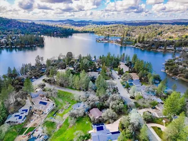
Find a Home Near the Trails
Many of the best neighborhoods in Nevada County put you within minutes of these trailheads. Homes near downtown Nevada City give you easy access to Sugarloaf, the Independence Trail, and the South Yuba River corridor. Properties in and around Grass Valley put Empire Mine and the Cascade Canal Trail practically at your doorstep.
If you're thinking about buying or selling in Nevada County, I'd love to help. With 20+ years of experience and 200+ homes sold across Grass Valley, Nevada City, Lake of the Pines, and the surrounding Sierra Foothills, I know this market well. Reach out at (530) 489-4892 or visit sierrafoothillsrealestate.com/contact — I'm always happy to talk.
Categories
- All Blogs (233)
- Alta Sierra (17)
- Auburn (1)
- Buying a Home (130)
- Featured Listings (2)
- Grass Valley (51)
- Lake of the Pines (29)
- Lake Wildwood (19)
- Market Updates (14)
- Moving to Nevada County (89)
- Neighborhood Guides (28)
- Nevada City (35)
- Nevada County (13)
- Nevada County Lifestyle (42)
- Nevada County, CA (173)
- Penn Valley (13)
- Real Estate Tips & Education (76)
- Selling a Home (70)
Recent Posts


GET MORE INFORMATION